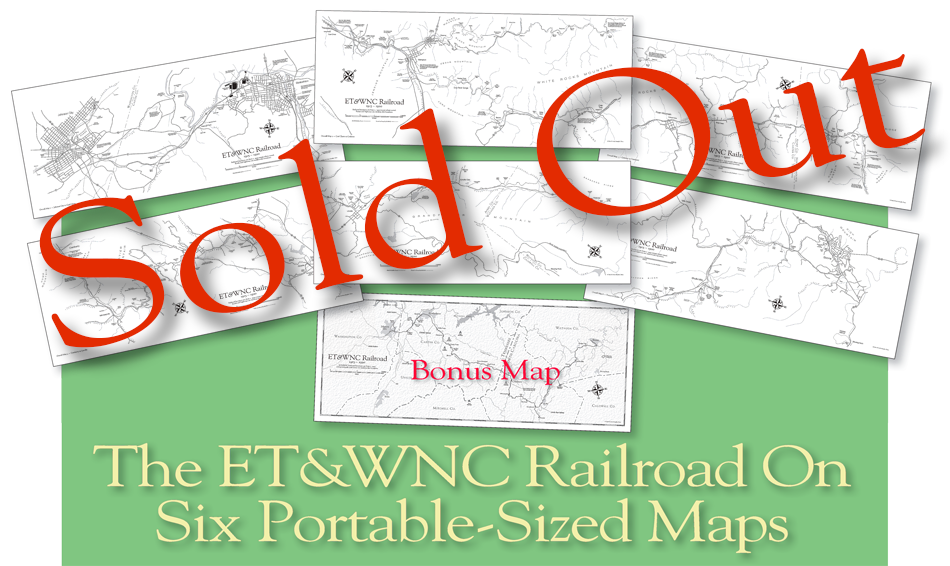
Sorry, these portable maps have now SOLD OUT and
are no longer available. I do not have immediate
plans to reprint them, but
send me an email to be
put on a contact list while I gauge interest and
try
to find a more cost-effective way to reprint them.
Thank you for your interest!
Everyone loves good maps...one could sit and explore maps for hours.
Especially when those maps depict your favorite little narrow gauge railroad...
the East Tennessee & Western North Carolina Railroad.
If you are an ET&WNC Railroad fan, or know someone who is, then this set
of working maps is for you. The entire railroad from Johnson City to Boone
is broken into six separate maps, and you'll get a seventh Bonus Map showing
the entire railroad route and how it fit into the surrounding area. Large enough
to show loads of detail about the railroad, these maps will fit comfortably in
your hands. The overall size is 22" wide by 9" tall, great for taking in
the field
for exploration or for framing. These are the exact size and quality of the
maps
in John Waite's book The Blue Ridge Stemwinder, with no pesky fold in the
center. Printed magazine-quality offset in black & white on coated paper,
these maps detail every
bridge, every railroad and every river or creek that
impacted the ET&WNC/Linville River Railway during its colorful history.
Created from a variety of sources including actual 1916 ET&WNC
Railroad survey maps, they are as accurate as custom maps can get.
Roads and highways on the maps are from modern times,
while the
railroad route shows where the ET&WNC ran in relation to today's
world. Noted along
the way are
many places of interest, some from
today and some from
long ago...a delight for any history lover.
Fans of the ET&WNC Railroad will appreciate the many years of work,
dedication and research that have gone into creating this set of maps.
Click here to see a PDF sample of this highly detailed map...
