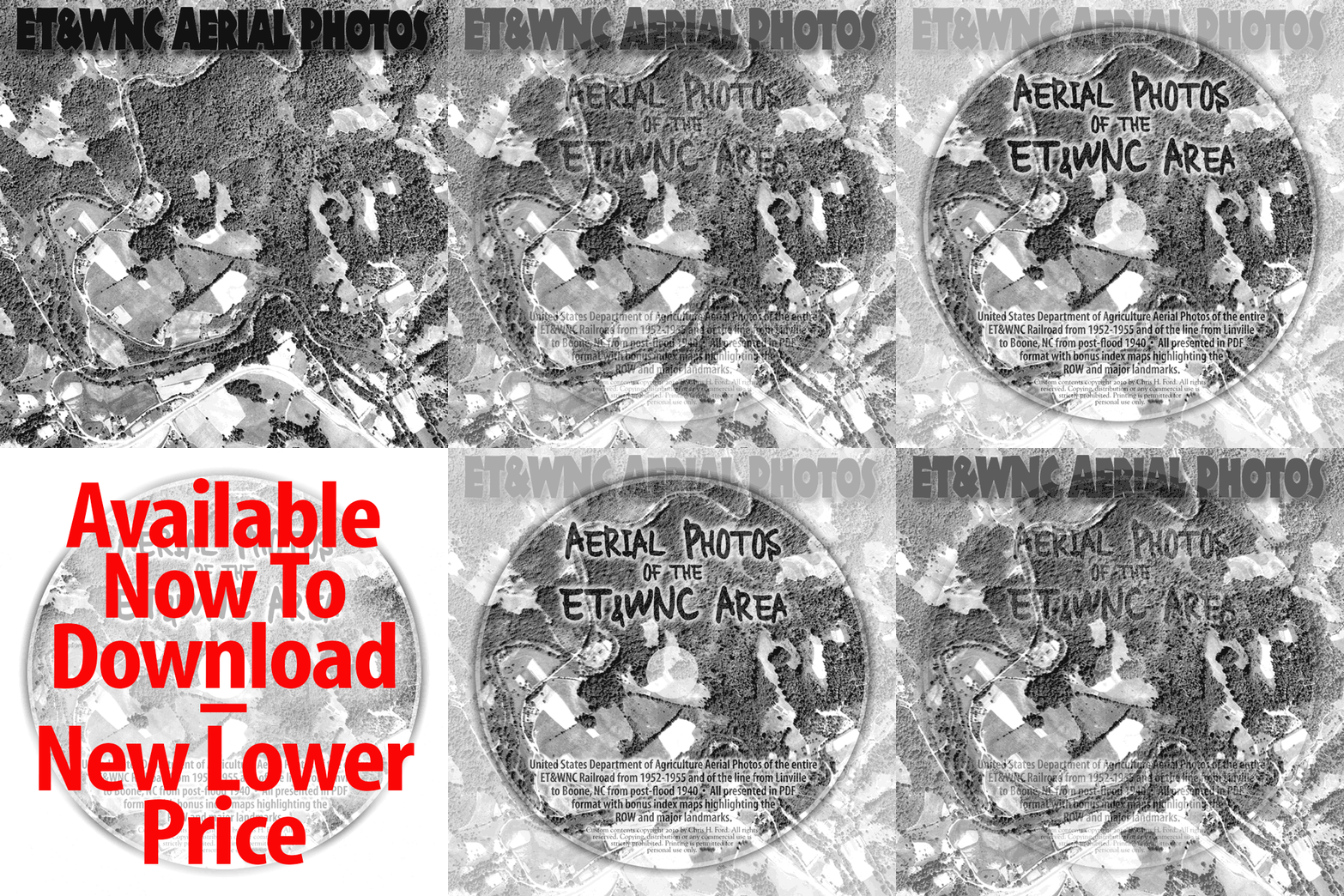
For a fascinating look back into ET history, you'll want to have this
complete set of 35 ET&WNC area aerial photos for use on your computer.
Only $19.95... that's less than a dollar per image for this excellent reference
material. These high-resolution photos are overlaid with high-quality maps to
show you exactly where the right-of-way and major landmarks were located.
All this is wrapped into an interactive PDF combining the photos with
a map
of the entire railroad,
to give you a greater visual understanding of the connection between the two and user-friendly access to all of the photos.
The scope of this project makes it a "must have" for any ET&WNC fan.
Comprehensive and thorough, with ample material for the dedicated
researcher or historian, this Collection will also be enjoyed by even the
most casual ET enthusiast. You'll get snapshots in time of a long-passed
era, with a unique look back at one of the most important events in the
history of the ET&WNC railroad - the flood of 1940.
Click here to sample one of the photo pages. This sample is a 17 MB PDF file.
The "Aerial Photos of the ET&WNC" Collection is now available via download at a new price of
$19.95. Pay and Download immediately via PayPal (preferred), just click the "Buy Now" button.
After your payment is processed you'll be directed to the download page. The Collection is a
600 MB zip file. Please take note of the "read me" files included in the download. Thank you!
Check or money order also accepted, see instructions below.

